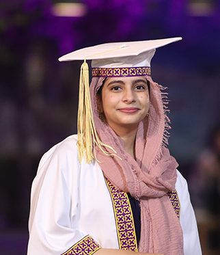
ASRA AHMED
Aspiration Statement
I am looking for job opportunities in data analysis, integration, or engineering. I want to pursue my Masters in a field like social data science, which will allow me to further the knowledge that I have gained from both my major (computer science) and minor (Social Development and Policy).
Core Skills
- Python and C++
- Qualitative Research
- Task Delegation and Management
- Analytical Skills, Data Analytics and Database Management
- Technical Documentation
Academic Awards / Achievements
- Dean's List Fall 2020
- Attended the University of Sussex International Summer School program on a 100% scholarship in 2019
Experience
Leadership / Meta-curricular
- HU Gazette (2019-2020) - Editor-In-Chief
- Omicron 2018 - Director of Publications
- Yearbook Committee, 2019 - Member
Internship / Volunteer Work
- Access Group - Software Development Intern
- 10Pearls - Software Development Intern
- Playground, Habib University - Content Writer
- Habib University - Undergraduate Teaching Assistant
Publications / Creative Projects
- Published a paper in Tezhib Undergraduate Research Journal that investigated the effects of polarization at Habib University
- Conducted analysis on the state of education in Pakistan's rural areas using Python and Pandas. Visualized findings using Tableau
- Developed a Pipelined RISC V Processor
- Built a digital system for Baitussalam Basic Health Unit
Final Year Project
Project Title
Sat2Sat Image Conversion
Description
Our thesis addresses the data sparsity problem arising from a lack of freely and publicly available satellite data. Data that meets this criterion comes from a range of different satellites with different sensors and optics, spatial resolutions and revisit rates. Thus, typically, for machine learning and data science tasks, data from only a single model of satellites can be used. Our solution was to perform image-to-image translation between different satellite types, to create a larger dataset of images that can then be used in a variety of different applications. We collected data using Google Earth to construct a dataset that we are using to train a computer vision algorithm to interchangeably translate an image from one satellite type to another. This is done using the pix2pix algorithm, which uses a conditional Generative Adversarial Network (cGAN), and the U-NET architecture. Results will be displayed on a website, showing time-lapse videos for the individual satellites and the combined dataset from the predicted images.